
Deni Suwardhi
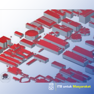
The ITB campus in two locations, namely Jalan Ganesa Bandung and Jatinangor, Sumedang, requires good facilities and infrastructure to support all activities in the campus environment. The purpose of this service completes the completeness of Ruagan plans, integrase web-GIS applications that have been built with OpenMaint applications, and equip web-GISs that have been built with spatial analysis, such as parking route searches, and evacuation paths in the event of an earthquake. Method using spatial analysis. The results of this dedication of data and applications are stored and installed on the server owned by the Directorate of Facilities and Infrastructure, partially implemented. The benefits obtained for the Directorate of General Administration are the existence of online campus maps, ITB information disclosure programs launched by DIKTI and DEPDIKBUD can be supported. Directorate of facilities and infrastructure can be assisted in room data inventories, public facilities and public facilities at ITB. The spatial visualization of these objects will greatly help the Sarpras Directorate. Keywords: OpenMaint, Web-GIS application, ITB Campus.
Application of appropriate technology
There is not any