
Asep Yusup Saptari
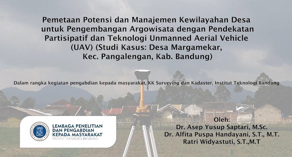
The Federation of Surveyor International (FIG) and World Bank introduced a system for registration known as Fit for Purpose Land Administration (FFPLA). FFP-LA is a concept of approach used to achieve certain goals related to land administration (Enemark et al, 2014). This concept consists of four main keys: 1) General limits rather than permanent limits; 2) Aerial photos / satellite imagery rather than field surveys; 3) Accuracy adjusts requirements rather than technical standards; and 4) Opportunities for updates, improvements and repairs. This concept is perfect with the condition of Indonesia where identification can use air photos or satellite imagery as a basic map. Margamekar village as a village that develops in the field of argotourism. However, this village does not have a village map of both the boundary map, a map of village potential, and land maps of land so that it makes it difficult for village communities to carry out planning and implementation of the development of their will. Therefore, Margamekar village mapping activities to produce maps of the authorities are needed to support village development activities, especially for the development of the development of the village argowourism. Data collection using participatory mapping methods by distributing forms coordinated by the chairman of each RW. Then the village territory shooter was carried out using the UAV where Pre-Mark had previously installed. Premark is the points marked as Ground Control Point (GCP), measured using GPS. The results of aerial photo shooting and GCP points measurement are then processed to produce photo maps. The results will be used as a basis for participatory mapping activities in the form of RT / RW limits, public facilities, land use, and information that supports the construction of Margamekar villages, Kec. Pangalengan.
Product
The benefits of this project are Margamekar villages that can increase their potential for improving the economy. Initially, the aim of ArgoTisata became one of the destinations for developing entrepreneurship. However, after obtaining its spatial information, Margamekar Village became a new goal to develop its existence such as public facilities and improve programs relating to livestock based on spatial information that has been obtained from this project