Profil
Pengabdian Masyarakat
Layanan Kepakaran
Pengumuman
Data
Filter
Region
Ring 1 : Greater Bandung and ITB Neighborhood
Ring 2 : West Java
Ring 3 : Java Island
Ring 4 : Outer Java Island
Ring 5 : Border of Indonesia, Frontier, Outermost and Least Developed Regions
Sort
Sort
A-Z
Z-A
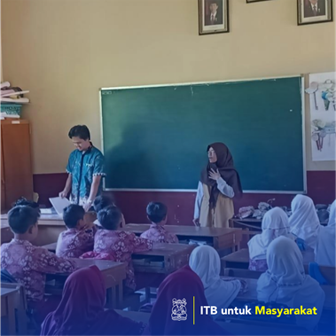
The application of augmented reality technology in the teaching companion book for elementary school students in physics subjects
2019
Implementation of geographic information systems for mapping and agricultural commodities
2020
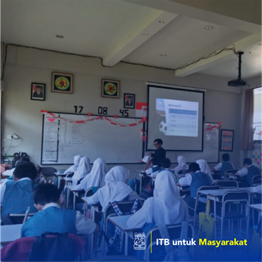
Assistance for implementing Math Camp Mandiri by elementary school level teachers
2019
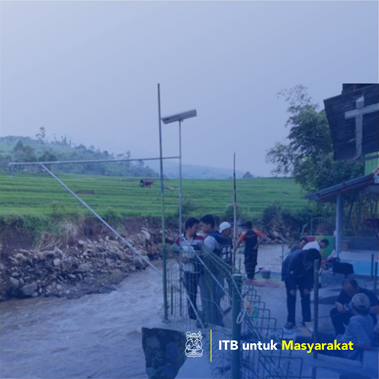
Application of technology in the development of an early warning system for the South Bandung flood area
2015
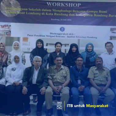
School Assistance Through Dissemination of Earthweight Disaster Risk in Bandung City
2016
Phytoremediation prototypes of simple polluted river water recovery in an effort to improve land quality at the location of the Lingar Village Consolidation Plan, Rancaekek District, Bandung Regency
2016
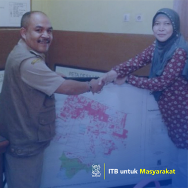
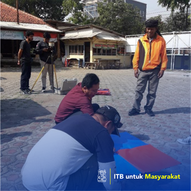
Making village maps in order to mandate Law No. 6 of 2014 (Lembang Village, Lembang District, West Bandung Regency)
2014
Assistance for the West Java Disaster Risk Reduction Forum (FPRB) through the Disaster Disaster Risk Socialization in Bandung City
2015
Flood Making Maintenance Multuncut in RW 11 East Java) based on the LAAR Flow model and High Resolution DTM Citra
2020
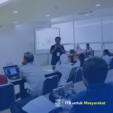
Workshop Application of Village Land Administration Data for Development of Geospatial Data Data
2020
Eduventure on Climate Change for Kids (Edu-Click) at Bandung Nature School
2019
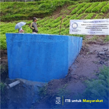
Community empowerment through providing clean water and geological education for the community in the area of ​​Mount Windu and its surroundings, Bandun Regency
2019
‹
1
2
...
87
88
89
90
91
92
93
94
95
96
›